Admiral de Fonte Sea of West Fictional North America 1754 rare de L'Isle map
Brian DiMambro- Antiquarian Books, Maps & Prints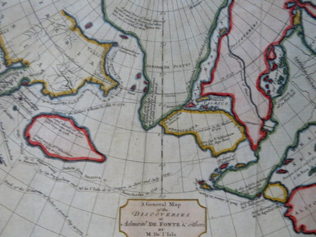
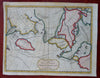
A General Map of the Discoveries by Admiral de Fonte & Others.
(Old Maps, 18th Century Maps, Pacific Ocean, Fictional Cartography, North Pacific, Russia, Kamchatka, Company Land, Alaska, Sea of the West).
Issued 1754, London by De L'Isle.
Scarce mid-18th century engraved map with attractive hand color.
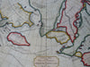
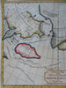
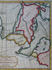
Map depicts fictional cartography, including several islands in the northern Pacific with passages, as well as the non-existent huge Sea of the West sitting above California. Indeed, the connections shown appear to indicate a North West Passage. Different named sea Voyages of 1709, 1728, 1731 & 1741 are shown
Remains a nice looking example with a pleasing age patina. Any age flaws mostly minor and easy to overlook or forgive.
Original fold lines as issued.
Sheet Measures c. 8 3/4" H x 10 3/4" W.
Engraved Area Measures c. 7 3/4" H x 10" W.
Cartographic Reference(s):
Tooley's Dictionary of Mapmakers, vol. 1.
[B15807].