Africa Cape Colony Guinea Congo Egypt Morocco 1850 Radefeld engraved map
Brian DiMambro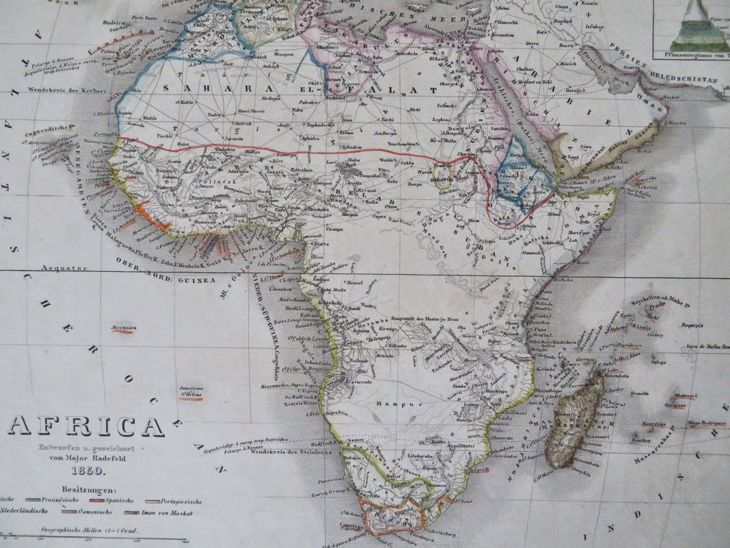

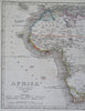
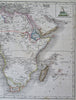
Africa.
(Old Maps, 19th Century Maps, Africa, Cape Colony, Madagascar, Guinea, Congo, Morocco, Egypt).
Issued c. 1850, Hildburghausen, Germany by the Bibliographic Institute. Map by Major Radefeld.
Mid 19th century antique engraved map with original outline hand color.
The apocryphal Mts. of the Moon range is shown meandering across the middle of the continent.
Well preserved, nice looking example with pleasing age patina.
Sheet Measures c. 11 3/4" H x 9 3/4" W.
Engraved Area Measures c. 9 3/4" H x 7 1/4" W.
Cartographic Reference(s):
Tooley's Dictionary of Mapmakers, vol. 1.
[R33642].