Antebellum United States Texas Utah Territory California Nebraska 1858-59 map
Brian DiMambro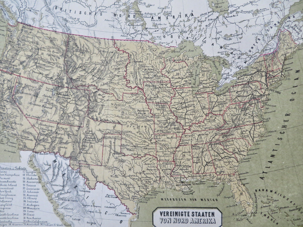
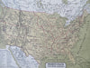
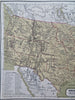
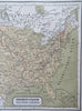
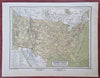
Vereinigte Staaten von Nord-Amerika.
(Old Maps, 19th Century Maps, North America, United States, Texas, Utah Territory Nebraska Territory, California, Minnesota, Washington Territory, New York, Florida, Virginia).
Issued 1858-59, Vienna by Obenheimer. Map by A. Skrzeszewski.
Mid 19th century color lithographed map.
Lower left is a two column list of the 37 states and territories then existing. Note the huge early shape of Indian Territory as well as the other vast territories.
Well preserved, nice looking example with pleasing age patina.
Sheet Measures c. 9" H x 11 1/2" W.
Engraved Area Measures c. 7" H x 10" W.
Cartographic Reference(s):
Tooley's Dictionary of Mapmakers, vol. 4.
[R33746].