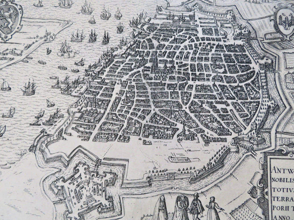
Antwerp Belgium City Plan Star Fort Sailing Ships c. 1600 Guicciardini map
Brian DiMambro


Antwerpiae Nobilissimi Totius Orbie Terraruem Porii Typus Anno MDXCVIII.
(Old Prints, 16th Century Prints, Europe, Low Countries, Belgium, Antwerp, City View, Star Fort, Sailing Ships).
Issued c. 1600 by Guicciardini.
16th century engraved birds-eye city plan map.
Nice looking example, pleasing age patina, any minor age flaws easy to overlook or forgive.
Original fold line as issued.
Sheet measures c. 10 1/4" H x 13 1/4" W.
Engraved area measures c. 9 1/4" H x 12 1/2" W.
[R35882].
Deys, Guicciardini Illustr., 4.2.
