Australia New South Wales Kangaroo Island Brisbane 1832-47 Stieler detailed map
Brian DiMambro- Antiquarian Books, Maps & Prints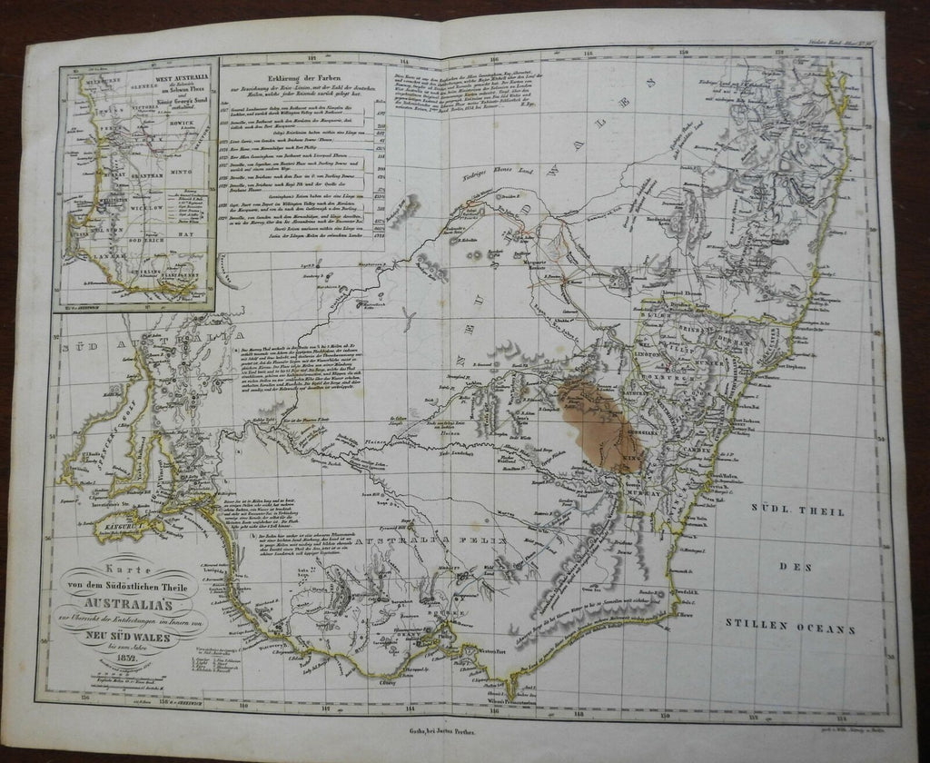
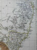
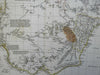
Karte von dem Sudostlichen Theile Australia's zur Ubersicht der Entedckungen im Innern von Neu Sud Wales biz zum Jahre 1832.
(Oceania, Australia, New South Wales, Kangaroo Island, Brisbane).
Issued c. 1832-47, Gotha, by Justus Perthes for Stieler. Map engraved by Wilh. Jottnig.
Uncommon early 19th century map with lovely hand color. A variant issue which only appeared in a handful of Stieler atlases during this era.
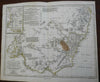
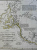
Note the large old stain. Numerous engraved notes across the map, inset top left of West Australia.
Stieler maps of this period went through numerous revisions, and thus there may be many different examples of this title.
Nice looking example, pleasing age patina, any minor age flaws easy to overlook or forgive.
Original center fold as issued.
Sheet Measures c. 14" H x 16 3/4" W.
Engraved Area Measures c. 12" H x 15 3/4" W.
Cartographic Reference(s):
Tooley's Dictionary of Mapmakers, vol. 4.
[R25734].