Berlin Germany City Plan Spree River c. 1850's Heck fine hand color engraved map
Brian DiMambro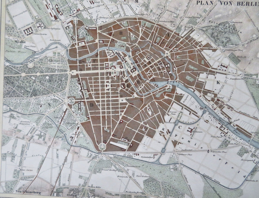
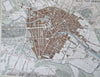
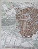
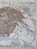
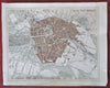
Plan von Berlin.
(Old Maps, 19th Century Maps, Europe, German Empire, Germany, Berlin, City Plan, Spree River).
Issued c. 1850's, Germany by Heck. Engraved by R. Schmidt.
Remarkably detailed mid-19th century engraved city plan map with attractive hand color.
Remains a nice looking example with a pleasing age patina. Any age flaws mostly minor and easy to overlook or forgive.
Sheet Measures c. 9 1/2" H x 11 1/2" W.
Engraved Area Measures c. 8 1/4" H x 10 1/2" W.
Cartographic Reference(s):
Tooley's Dictionary of Mapmakers, vol. 1.
[R33638].