Boston Mass. city plan 1874 Mitchell large decorative hand colored nice map
Brian DiMambro- Antiquarian Books, Maps & Prints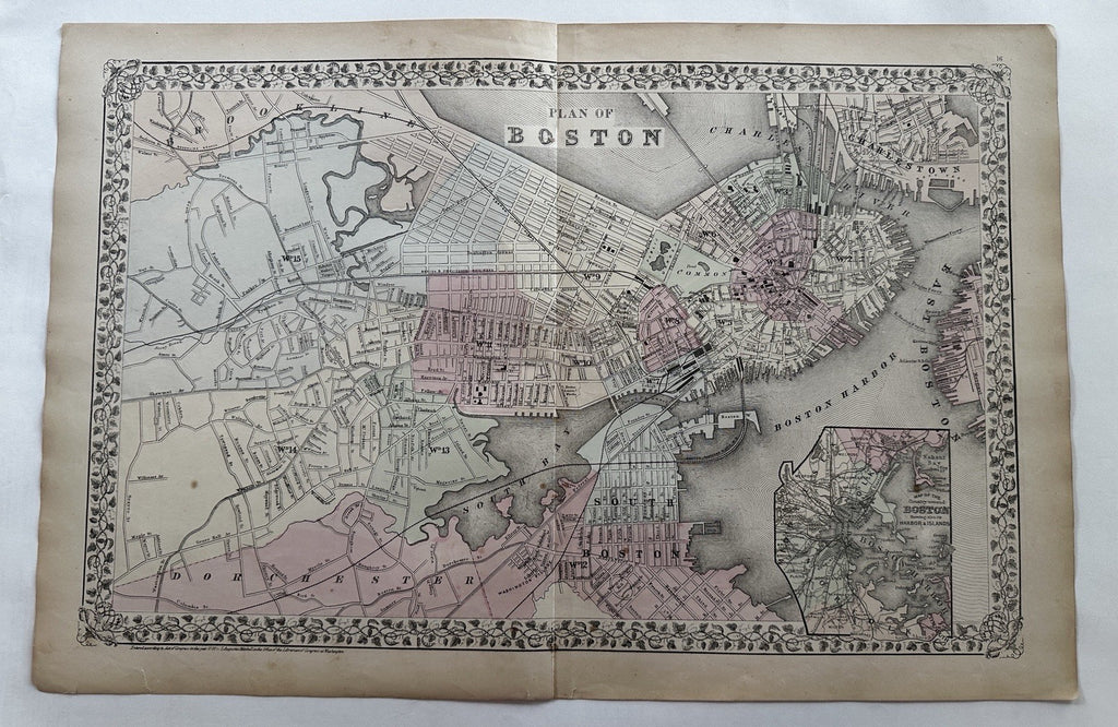

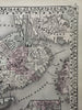
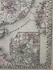

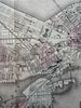
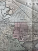
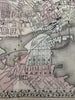

Plan of Boston. (Massachusetts).
Issued c. 1874 Philadelphia by S.A. Mitchell.
Great mid-19th century lithographed map, with original hand color.
Attractive example, clean, pleasing age patina, 1/2" closed split along bottom blank margin edge, any minor age flaws easy to overlook or forgive. Splits at end of centerfold now closed with archival tape (top= 2.5"; bottom 1.5").
Sheet Measures c. 15” x 23”.
Engraved area Measures c.13 1/4" x 20.5".
original centerfold as issued.
Cartographic Reference(s):
Reps, American Maps and Mapmakers, p. 313.
Tooley's Dictionary of Mapmakers, vol. 1 & vol. 4, pp. 260.
R36517