China Canton River China Macao Hong Kong Guangzhou c. 1749-50 Bellin colored map
Brian DiMambro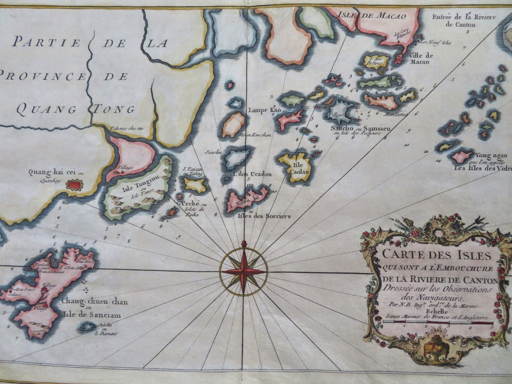
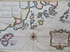
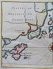
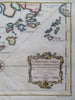
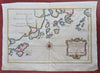
Carte des Isles qui sont a L'Embouchure de la Riviere de Canton.
(Old Maps, 18th Century Maps, Asia, China, Qing Empire, Canton River, Macao, Hong Kong, Guangzhou).
Issued c. 1749-50, Paris.
Mid 18th century engraved map with attractive hand color. Decorative cartouche greatly enhances visual appeal.
Remains a nice looking example with a pleasing age patina. Any age flaws mostly minor and easy to overlook or forgive.
Original center fold as issued.
Sheet Measures c. 10 1/4" H x 14 1/4" W.
Engraved Area Measures c. 7 1/2" H x 10 1/4" W.
[R33580].