Connecticut state 1927 monumental huge map Geological Survey
Brian DiMambro- Antiquarian Books, Maps & Prints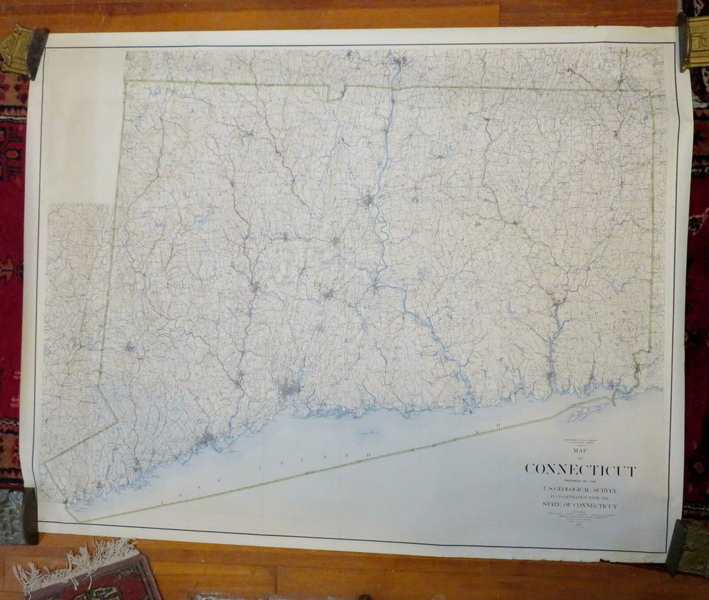
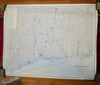
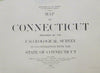
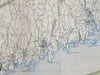
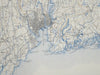
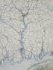
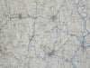
Map of Connecticut.
(North America, United States, New England, Connecticut, Hartford, Middletown, New Haven, Large Wall Maps, Navigation Charts).
Issued 1927 [Reissue of 1893 Version], Washington, D.C. by the U.S. Geological Survey.
Monumental early 20th oversized tinted lithograph map.
This huge vintage map sheet displays various light signs of usage- but still well preserved, nice looking example with pleasing age patina.
Shipped rolled in a sturdy tube, map has been rolled for years and was acquired in this way.
Sheet Measures c. 44 1/2" H x 56" W.
Engraved Area Measures c. 42" H x 54" W.
Cartographic Reference(s):
Tooley's Dictionary of Mapmakers, vol. 4.
[R26895-rolled]