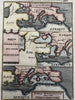
Europe & Turkey backwards! 1719 Mallet antique hand colored map
Brian DiMambro- Antiquarian Books, Maps & Prints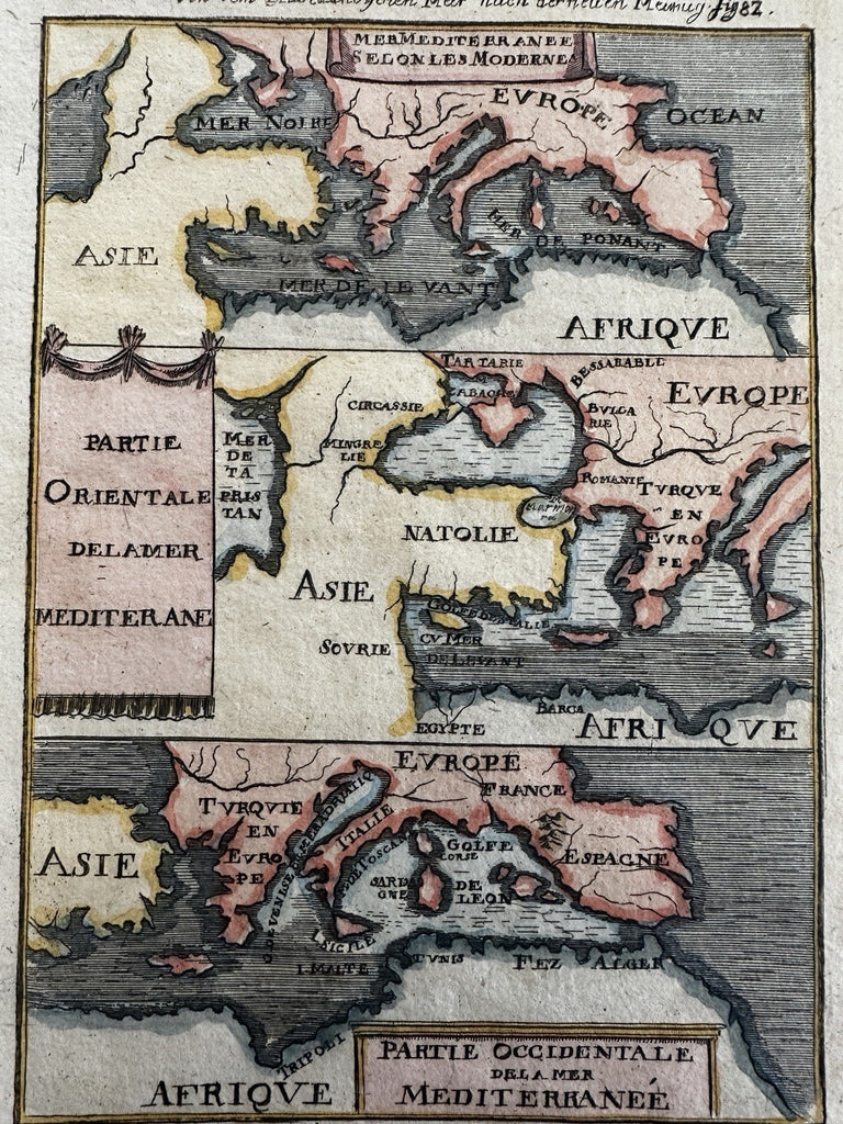
Europe, Mediterranean, Turkey in Asia, north African coast.
Issued 1719, Frankfurt for Mallet.
Original early 18th century antique miniature map. Engraved with nice hand color.
Fascinating map depicting Europe and Turkey/ Asia backwards! It’s as if the engraver copied the maps directly as he saw them printed, thus resulting in them being printed backwards as seen. Very strange indeed, a genuine cartographic curiosity.
Light surface soiling or spotting, map looks great and displays very well.
Sheet measures c. 7 7/8" H x 6" W.
Engraved area c. 5 5/8" H x 4" W.
B15507