Florida Georgia North & South Carolina Charleston St. Augustine 1850 Meyer map
Brian DiMambro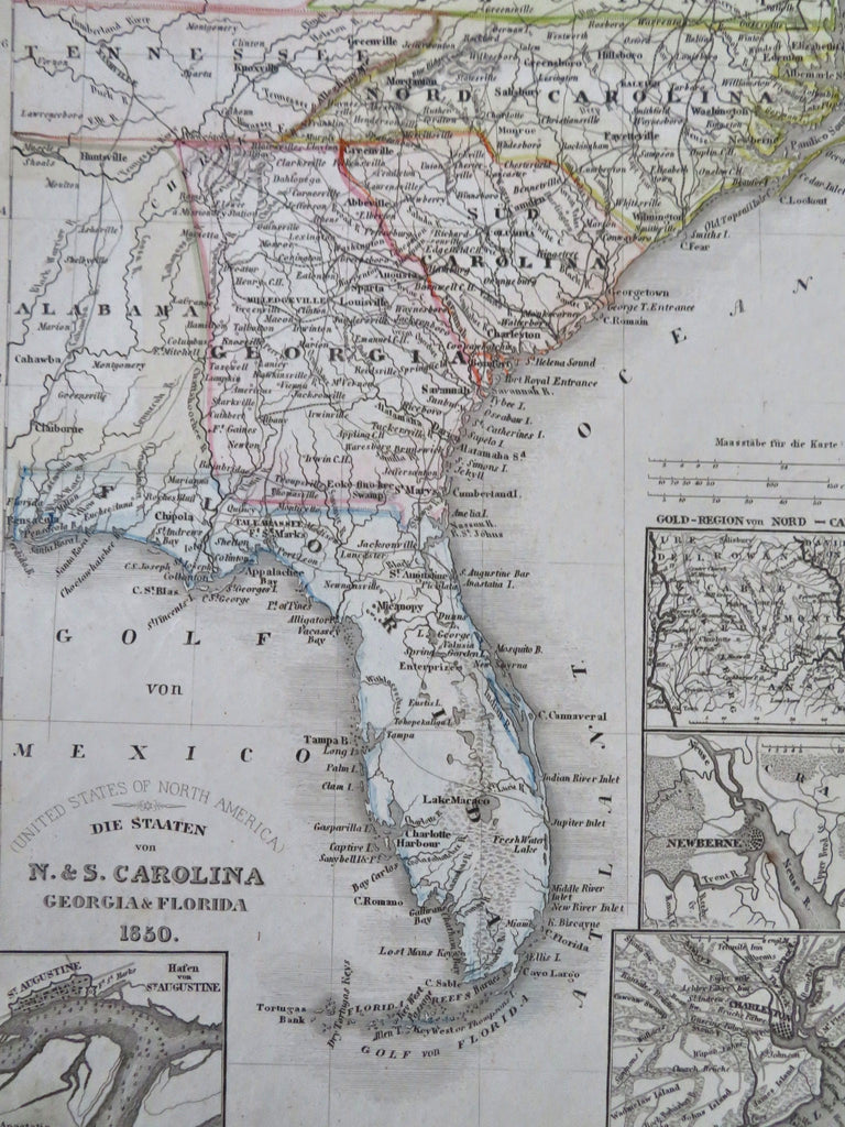


Die Staaten von N. & S. Carolina, Georgia, & Florida.
(Old Maps, 19th Century Maps, North America, United States, Florida, Georgia, South Carolina, North Carolina, St. Augustine, Charleston, Newberne, Gold Region).
Issued c. 1850, Hildburghausen, Germany by the Bibliographic Institute.
Mid 19th century antique engraved map with original outline hand color.
Well preserved, nice looking example with pleasing age patina.
Sheet Measures c. 11 3/4" H x 9 3/4" W.
Engraved Area Measures c. 9 3/4" H x 7 1/4" W.
Cartographic Reference(s):
Tooley's Dictionary of Mapmakers, vol. 1.
[R33647].