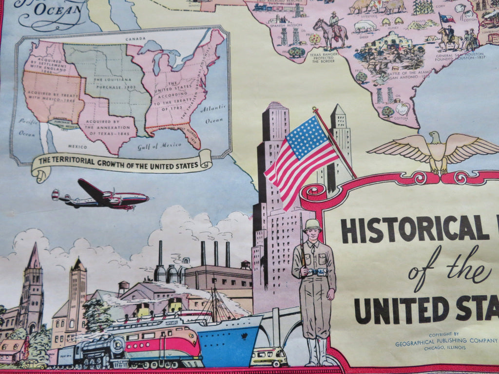
Historical Map of United States Soldiers 1955 rare cartoon pictorial cartoon map
Brian DiMambro


Historical Map of the United States.
(Old Maps, 19th Century Maps, United States, Cartoon Pictorial Map, North America, United States, History).
Issued 1955, Chicago, Illinois and Geographical Publishing Company.
Very uncommon mid 20th century color lithographed pictorial cartoon map. Printed on both sides, we show reverse map as well.
Some edge chipping and signs of time such as small stains, curling, etc., still overall attractive, well preserved, nice looking example with pleasing age patina.
Sheet Measures c. 35 1/2" H x 27 3/4" W.
[R35355].
