Holland Netherlands Amsterdam Low Countries 1748 Vaugondy nice hand colored map
Brian DiMambro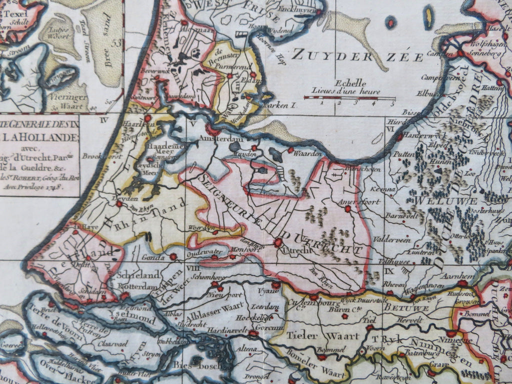
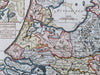
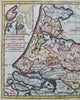
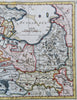
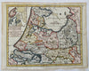
Carte Generale Des De La Hollande Avec la Seig d'Utrecht Partie de la Gueldre &c.
(Old Maps, 18th Century Maps, Europe, Low Countries, Netherlands, Holland, Amsterdam, Rotterdam).
Issued 1748, Paris by Robert de Vaugondy.
Mid 18th century engraved map with attractive hand color.
Remains a nice looking example with a pleasing age patina. Any age flaws mostly minor and easy to overlook or forgive.
Original center fold as issued.
Sheet Measures c. 7 1/4" H x 9 1/2" W.
Engraved Area Measures c. 6 3/4" H x 8 1/2" W.
Cartographic Reference(s):
Tooley's Dictionary of Mapmakers, vol. 4.
[B12556].