Ireland 1802 Whitehead Kincaid engraved old map with lovely hand color
Brian DiMambro- Antiquarian Books, Maps & Prints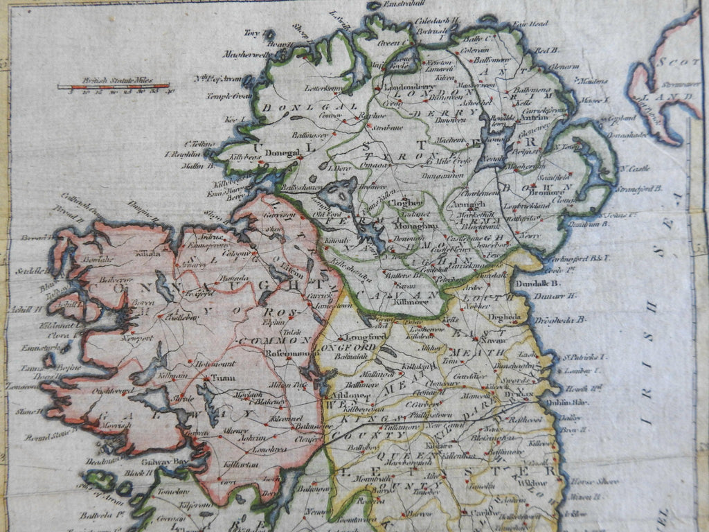
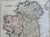
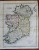
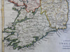
A Map of Ireland from the Best Authorities.
(Europe, British Isles, Ireland, Ulster, Munster, Connacht, Leinster, Dublin).
Issued 1802, London. Engraved by Whitehead from Kincaid.
Early 19th century engraved map with attractive hand color.
Remains a nice looking example with a pleasing age patina. Any age flaws mostly minor and easy to overlook or forgive.
Original fold lines as issued.
Sheet Measures c. 9 1/2" H x 8" W.
Engraved Area Measures c. 8 3/4" H x 6 7/8" W.
Cartographic Reference(s):
Tooley's Dictionary of Mapmakers, vol. 4.
[R36068-R26114].