Ireland Dublin Galway Limerick Waterford Derry 1849 Ehricht engraved map
Brian DiMambro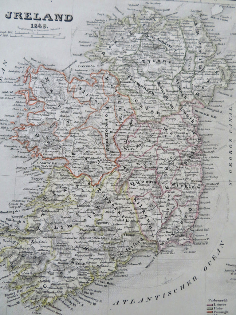
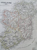
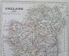
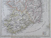
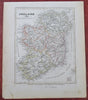
Jreland.
(Old Maps, 19th Century Maps, Europe, British Isles, Ireland, Dublin, Galway, Derry, Limerick, Waterford).
Issued 1849, Hildburghausen, Germany by the Bibliographic Institute. Map by Ehricht.
Mid 19th century antique engraved map with original outline hand color.
Well preserved, nice looking example with pleasing age patina, minor light spotting and staining in the wide blank margins.
Sheet Measures c. 11 3/4" H x 9 3/4" W.
Engraved Area Measures c. 9 3/4" H x 7 1/4" W.
Cartographic Reference(s):
Tooley's Dictionary of Mapmakers, vol. 1.
[R33657].