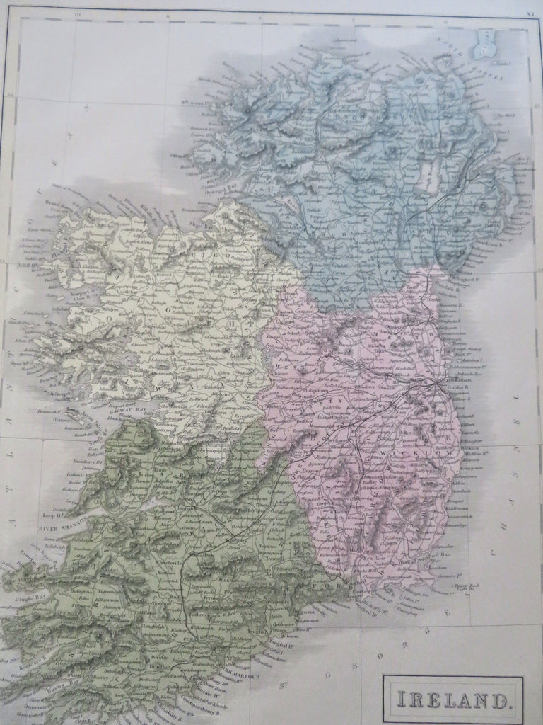
Ireland Leinster Ulster Connaught Dublin Counties Railroads 1853 Hall map
Brian DiMambro


Ireland.
(Old Maps, 19th Century Maps, Europe, British Islands, Ireland, Ulster, Leinster, Connaught, Dublin, Railroads).
Issued Edinburgh, 1853 by A. & C. Black. Engraved in London by S. Hall.
Lovely mid-19th century antique map. Engraved with original hand color.
Nicely detailed, showing countless towns & villages, earliest railroad lines, and terrain topographical features.
Paper gently and uniformly age-toned, but otherwise a clean and fine example. Map displays a pleasant, mellow age patina.
Sheet measures c. 12 1/4" x 17 1/4".
Printed area measures c. 10 1/4" x 14 1/2".
Tooley's Dictionary of Mapmakers , vol. 2, p. 253.
[R35551].
