Italy Adriatic Sea Dalmatian Coast Malta 1852 Rohde Meyer engraved map
Brian DiMambro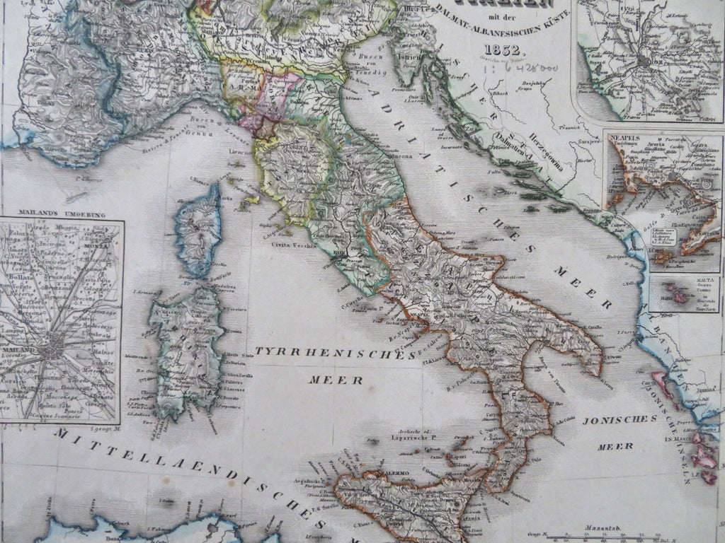
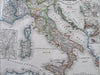
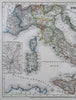
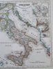
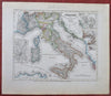
Italien mit der Dalmat.-Albanesischen Kuste. von Rohde.
(Old Maps, 19th Century Maps, Europe, Italy, Adriatic Sea, Milan, Rome, Naples, Malta).
Issued c. 1852, Hildburghausen, Germany by the Bibliographic Institute.
Mid 19th century antique engraved map with original outline hand color.
Well preserved, nice looking example with pleasing age patina.
Sheet Measures c. 11 3/4" H x 9 3/4" W.
Engraved Area Measures c. 9 3/4" H x 7 1/4" W.
Cartographic Reference(s):
Tooley's Dictionary of Mapmakers, vol. 1.
[R33660].