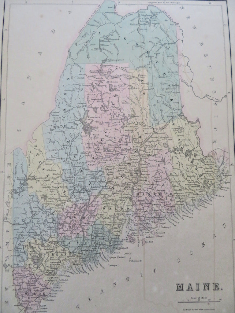
Maine Mt Desert Island Portland Augusta Bangor Kittery 1850's Bartholomew map
Brian DiMambro


Maine.
(Old Maps, 19th Century, North America, United States, New England, Maine, Mt Desert Island, Penobscot Bay, Augusta, Portland, Bangor).
Issued c. 1850-65, Edinburgh by A & C Black. Engraved by J. Bartholomew.
Mid 19th century engraved map with lovely original hand color.
Nice looking example, pleasing age patina, single short left edge split nicely closed on reverse with archival tape, any minor age flaws easy to overlook or forgive.
Sheet Measures c. 16 5/8" H x 12" W.
Engraved Area Measures c. 15" H x 10 5/8" W.
Cartographic Reference(s):
Tooley's Dictionary of Mapmakers, vol. 1.
[R35871].
