Netherlands & Belgium Luxembourg Amsterdam Brussels c. 1850's Fullarton map
Brian DiMambro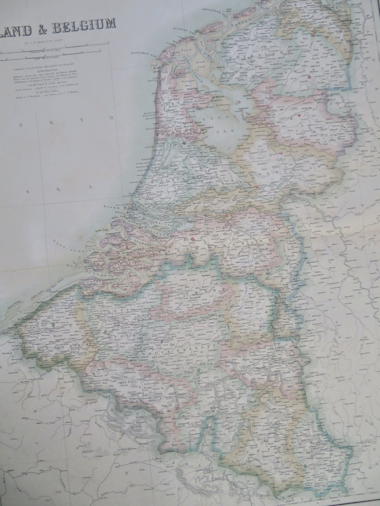
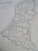
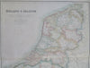
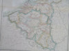
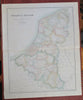
Holland & Belgium.
(Old Maps, 19th Century Maps, Europe, Low Countries, Netherlands, Belgium, Holland, Amsterdam, Brussels, Luxembourg).
Issued c. 1850's, Edinburgh by A. Fullarton & Company.
Mid 19th century lithographed map with lovely hand color.
Original center fold as issued.
Sheet Measures c. 23" H x 18 3/4" W.
Printed Area Measures c. 20 3/4" H x 16 1/2" W.
Cartographic Reference(s):
Tooley's Dictionary of Mapmakers, vol. 2.
[R33537].