North Carolina state by itself 1853 scarce charming small hand colored map
Brian DiMambro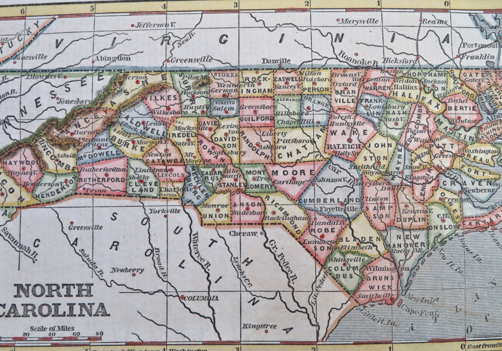
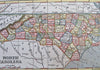
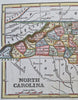
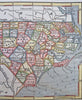
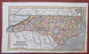
North Carolina.
(Old Maps, 19th Century Maps, Americana, United States, North Carolina, Raleigh, Durham, Chapel Hill, Cape Fear, Winston-Salem).
Issued 1853, New York for Phelps & Fanning.
Scarce original mid- 19th century wax engraved (cerographic) gazetteer map with lovely hand color. Text on reverse as always, the only way to own this map. A superior visual example perfect for framing for display.
Pleasing age patina, any age flaws minor and easy to overlook or forgive.
Sheet Measures c. 9 1/4" H x 5 1/2" W.
Engraved Area Measures c. 8" H x 4 3/4" W.
[R33544].