North Sea British Isles Bay of Biscay oceanography c. 1850 scientific German map
Brian DiMambro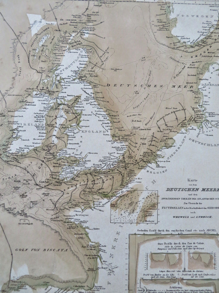

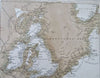
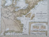
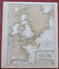
Karte von dem Deutschen Meere.
(Old Maps, 19th Century Maps, Europe, British Isles, North Sea, scientific map, oceanography, Bay of Biscay, Ireland, Scotland, England, Wales, Netherlands, France).
Issued c. 1850, Hildburghausen, Germany by the Bibliographic Institute.
Mid 19th century antique engraved map with original hand color.
Well preserved, nice looking example with pleasing age patina.
Sheet Measures c. 11 3/4" H x 9 3/4" W.
Engraved Area Measures c. 9 3/4" H x 7 1/4" W.
Cartographic Reference(s):
Tooley's Dictionary of Mapmakers, vol. 1.
[R33661].