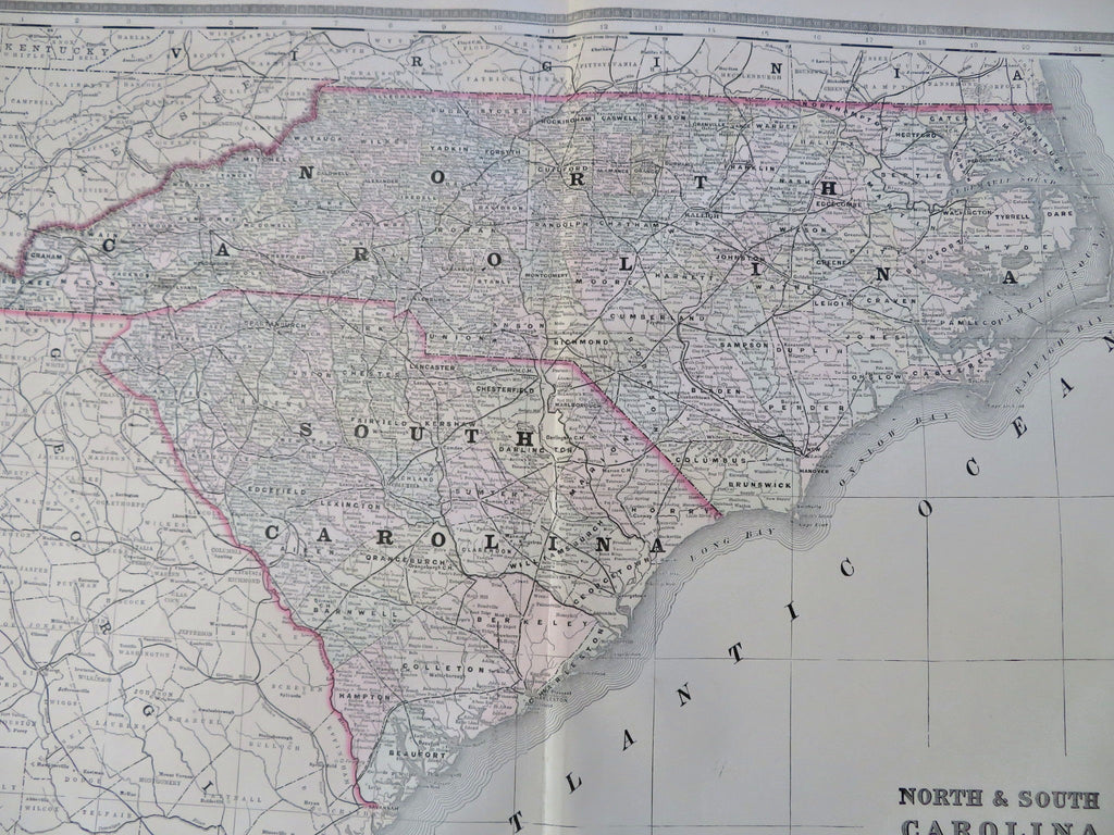
North & South Carolina Charleston Raleigh Cape Fear 1889 Bradley large map
Brian DiMambro


North & South Carolina.
(Old Maps, 19th Century Maps, Americana, United States, North Carolina, South Carolina, Raleigh, Durham, Winston-Salem, Charleston).
Issued c. 1889, Philadelphia by Wm. Bradley.
Oversized late 19th century map with original hand color. Fine level of detail, decorative piano-key border surrounds the map.
Light uniform paper age toning and some insignificant damp staining along the bottom edge, otherwise a clean, nice looking example.
Original centerfold.
Sheet measures c. 19" x 26".
Printed area measures c. 16 1/4" x 22 1/4".
Ristow, American Maps and Mapmakers , p. 313.
Tooley's Dictionary of Mapmakers , vol. 1, p. 182.
Woodward, The All-American Map- Wax Engraving and it's Influence on Cartography . pp. 27-8.
[R35540].
