Papal States Central Italy Rome Urbino Ferrara 1794 Neele engraved map
Brian DiMambro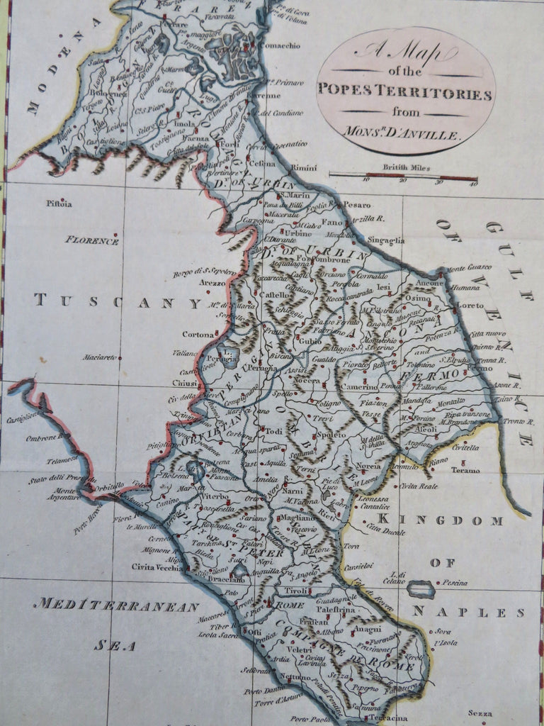
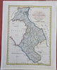
A Map of the Pope's Territories from Mons. D'Anville.
(Old Maps, 18th Century Maps, Europe, Italy, Papal States, Rome, Urbino, Ferrara).
Issued 1794, London by Trusler. Map engraved by Neele.
Uncommon late 18th century engraved map with attractive hand color.
Remains a nice looking example with a pleasing age patina. Any age flaws mostly minor and easy to overlook or forgive.
Original fold lines as issued.
Sheet Measures c. 8 1/4" H x 9 1/2" W.
Engraved Area Measures c. 7 1/2" H x 8" W.
Cartographic Reference(s):
Tooley's Dictionary of Mapmakers, vol. 4.
[B13243].