Philippeville Belgium c.1620 miniature city plan Guicciardini Blaeu antique map
Brian DiMambro- Antiquarian Books, Maps & Prints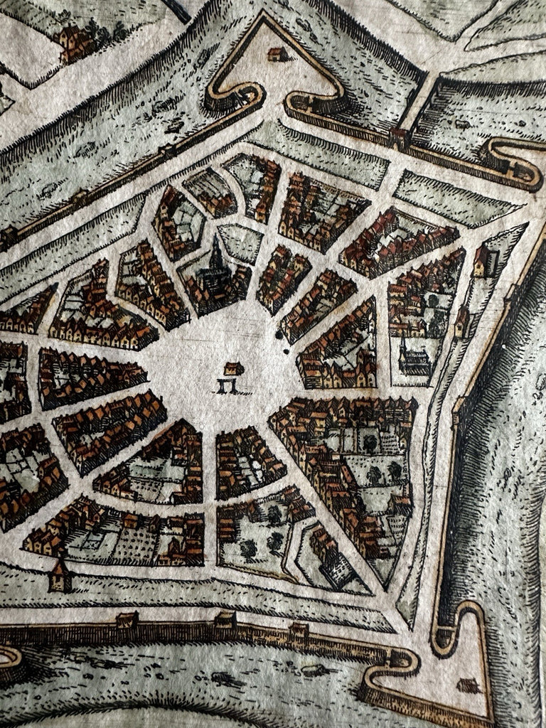
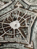
(Europe / France / Low Countries/ City View).
Issued early 17th century, c. 1612-48, Guicciardini. Likely by Blaeu.
Charming little engraved map, rendered in birds-eye view with countless individual houses.
Nice looking example, pleasing age patina, any minor age flaws easy to overlook or forgive.
Sheet measures c. 6"H x 8"W.
Engraved area measures c. 4 3/4"H x 6 3/8"W.
Cartographic Reference(s):
Deys, Guicciardini Illustratus, p.
Tooley's Dictionary of Mapmakers, vol. 1.
B15119