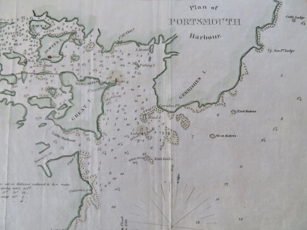
Portsmouth Harbor New Hampshire & Maine 1847 Blunt fine miniature coastal map
Brian DiMambro


Plan of Portsmouth Harbor.
(Old Maps, 19th Century Maps, Americana, United States, New England, New Hampshire, Maine, Portsmouth, Great Bay).
Issued 1847, New York by E. & G.W. Blunt. Engraved by Hooker.
Mid 19th century engraved coastal map with attractive hand color. A superior visual example, clean.
Seavey's Island is named, as is Great Island and New Castle. Fort Constitution identified with shining lighthouse. Whale Back light is also named, as is Fort McCleary and Gerrish Island.
Remains a very nice looking example with a pleasing age patina. Any age flaws mostly minor and easy to overlook or forgive.
Original fold lines as issued.
Sheet Measures c. 9 1/4" H x 9 1/4" W.
Engraved Area Measures c. 7 1/4" H x 7 1/2" W.
Cartographic Reference(s):
Tooley's Dictionary of Mapmakers, vol. 1.
[R35525].
