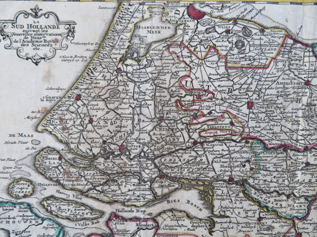
South Holland Nederland Amsterdam Rotterdam c. 1747 de Lat Keizer scarce map
Brian DiMambro


La Sud Hollande.
(Old Maps, 18th Century Maps, Europe, Low Countries, Netherlands, Holland, South Holland, Amsterdam, Rotterdam, Delft, Gouda, Utrecht).
Issued c. 1747, Deventer, Holland by de Lat & Keizer.
Fine, scarce and very interesting antique Dutch antique map. Engraved with original outline hand color. Original fold lines as issued. Some old spotting and light damp staining.
Sheet measures c. 8 1/2" x 10 1/4".
Printed area measures c. 6 1/2" x 8 7/8".
Tooley's Dictionary of Mapmakers , vol. 3, p. 93.
Koeman, Atlantes Neerlandici , II, pp. 261-5.
[B14281].
