Tenerife Canary Islands 1753 map Atlantic Santa Cruz coastal plan scarce
Brian DiMambro- Antiquarian Books, Maps & Prints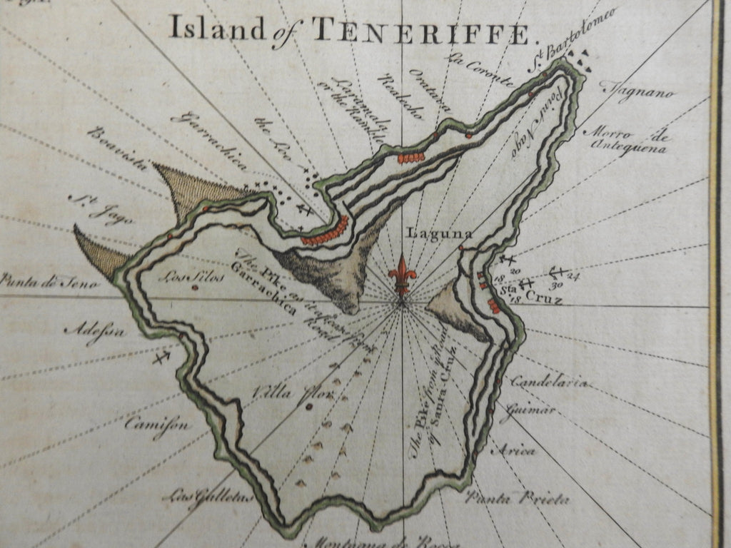
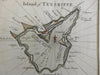
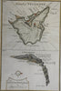
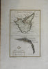
Island of Tenerife - View of the Town and Road of Santa Cruz.
(Atlantic Ocean, Macaronesia, Tenerife, Spanish Colonies, Santa Cruz).
Issued 1753, London. Engraved by G. Child.
Mid 18th century engraved map with attractive hand color.
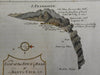
A Fleur-de-lys serves the purpose of a compass rose and has rhumb lines radiating from it. Sounding depths are noted as well as anchorage locations. Small symbols indicate the port trading harbor and shoreline. the coastline inset below the island map has a tiny city with forts and terrain.
Remains a nice looking example with a pleasing mellow age patina. Any age flaws mostly minor and easy to overlook or forgive.
Sheet Measures c. 13 1/2" H x 9 1/8" W.
Engraved Area Measures c. 8 3/4" H x 5 3/4" W.
Cartographic Reference(s):
Tooley's Dictionary of Mapmakers, vol. 1.
[R36063-R26152].