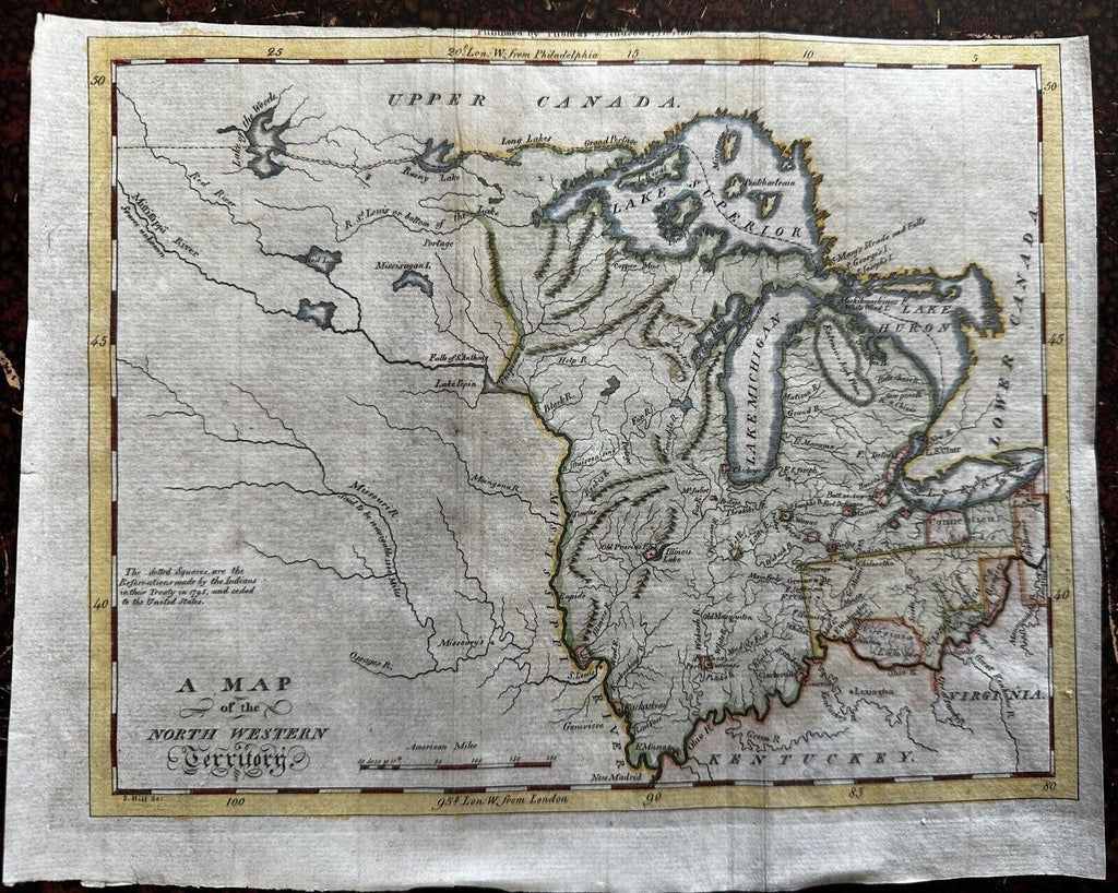
U. S. North West Territory 1796 rare beautiful American map Hill engraved HC
Brian DiMambro


A Map of the North West Territory.
Lovely and uncommon 18th century engraved map with fine hand color.
Printed 1796, Boston for J. Morse.
Engraved by S. Hill. Hand colored (later).
Includes several early land grants including "Virginia Lands", Connecticut Lands & Ohio. Engraved note at left mentions Indian Treaty of 1795.
In VG condition, a superior visual example well suited for gift giving or public display. Top blank margin shaved to within imprint outside the neat line, wide blank margins at bottom and left side (indicating typical carelessness regarding placement of the map on the sheet on the part of the printer & binder).
Sheet c. 10 1/4" W x 8 1/8" H.
Engraved area c. 9 1/8" W x 7 3/8" H.
see Wheat & Brun, Maps published in America before 1800, 679.
[NB7]
