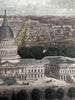
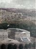
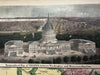
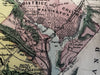
US Capitol Washington DC birds-eye view 1850’s Magnus hand color letter sheet
Brian DiMambro- Antiquarian Books, Maps & Prints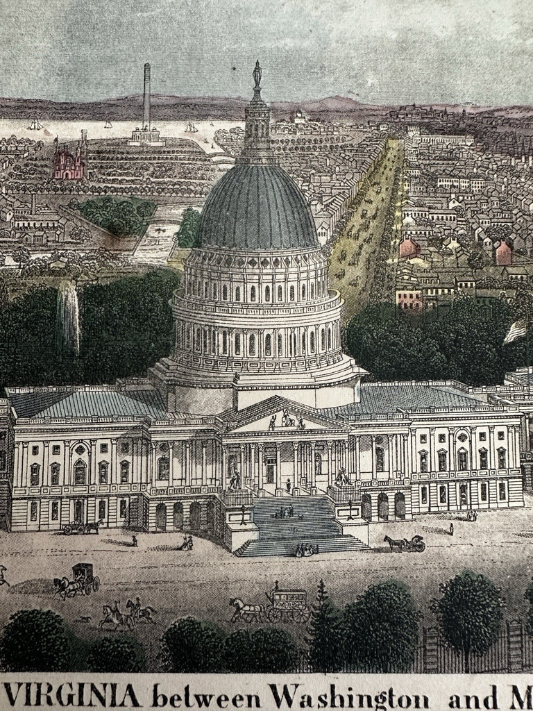
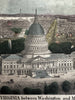
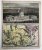
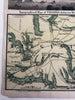

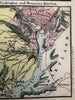
Topographical map of Virginia between Washington and Manassas Junction.
Publ. c.1853-55, NY by Charles Magnus.
Lithographed. Original hand color.
Letter sheet.
Attractive example, clean, pleasing age patina, paper toned, tiny chips at corners, any minor age flaws easy to overlook or forgive.
Sheet Measures c. 9 7/8" H x 8”.
B15802