Vera Cruz Mexico coastal map 1827 Hooker engraved Blunt chart hand colored map
Brian DiMambro- Antiquarian Books, Maps & Prints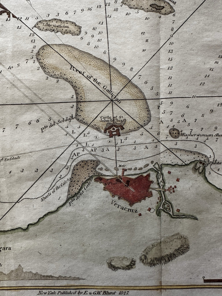
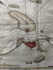
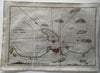
Chart of the Harbour of Vera Cruz.
(North America, Mexico, Vera Cruz, Harbor Chart, Coastal Survey, Military Fortifications, Star Fort).
Issued 1827, New York by E & G. W. Blunt. Engraved by Hooker.
Early 19th century coastal survey map with lovely hand color.
Small profile view bottom left, some terrain features, outline plan of fort, many sounding depths, reefs, islands and rhumb lines all impart a strong nautical feel.
Nice looking example, clean, pleasing age patina, slight wrinkling at bottom left fold line, any minor age flaws easy to overlook or forgive.
Sheet Measures c. 14 1/4" H x 9 1/2"W.
Engraved Area Measures c. 13 1/2" H x 8 1/4" W.
Cartographic Reference(s):
Tooley's Dictionary of Mapmakers, vol. 1.
R36047