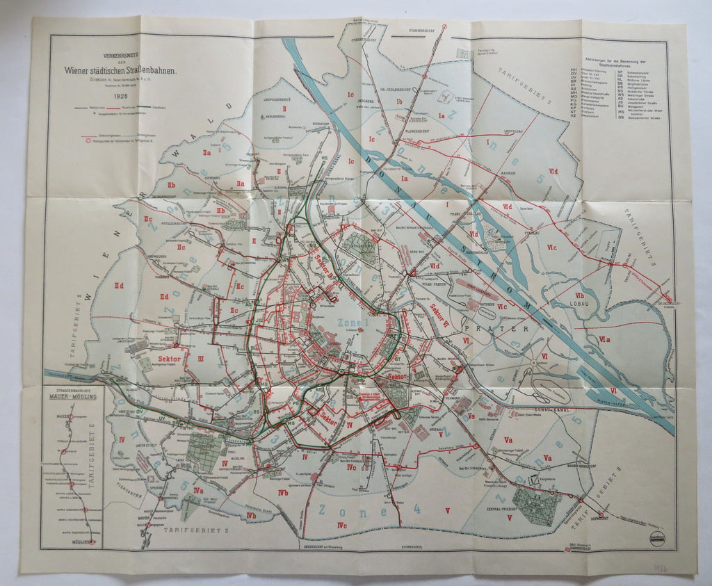
Vienna Austria Tourist travel bus & tram lines Map 1926 City Plan
Brian DiMambro


Verkehrsnetz der Wiener Stadtischen Strasenbahnen.
(Old Maps, Early 20th Century Maps, Europe, Austria, Vienna, City Plan, Travel, Tourism).
Issued 1926, Vienna.
Detailed vintage early 20th-century European city transportation related map. Shows tram and bus lines.
Paper and image remains clean and well preserved with a fine patina. Some minor splitting at fold line intersections or ends but overall well-preserved with a nice visual appeal.
Original fold lines as issued in a folding pocket map format.
Sheet measures c. 21" H x 25 3/8" W.
Printed area measures c. 20" H x 24" W.
[B14018]
