Western Australia (Southern Part) Perth Albany 1893 Stanford map
Brian DiMambro- Antiquarian Books, Maps & Prints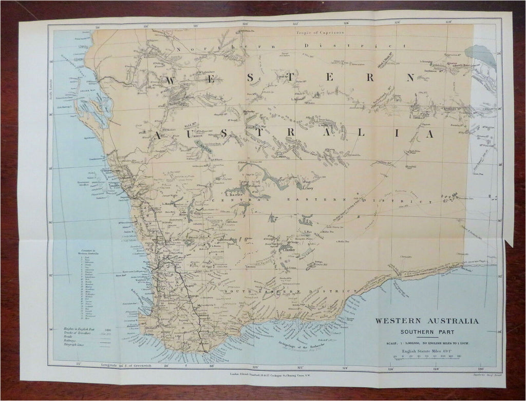
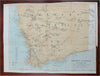
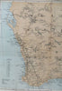
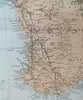
Western Australia - Southern Part.
(Oceania, Australia, Western Australia, Perth, Albany).
Issued 1893, London by Edward Stanford.
Uncommon late 19th century color lithographed map.
Map has many interesting details, such as early explorer tracks with names and dates, notes about the topography and terrain, etc. Not to be confused with atlas maps of the era.
Original fold lines as issued, lower right blank margin narrow as issued to facilitate folding using inset tab above it.
Sheet Measures c. 11 3/4" H x 15 3/4" W.
Printed Area Measures c. 11" H x 14 1/2" W.
Cartographic Reference(s):
Tooley's Dictionary of Mapmakers, vol. 4.
[R27284].