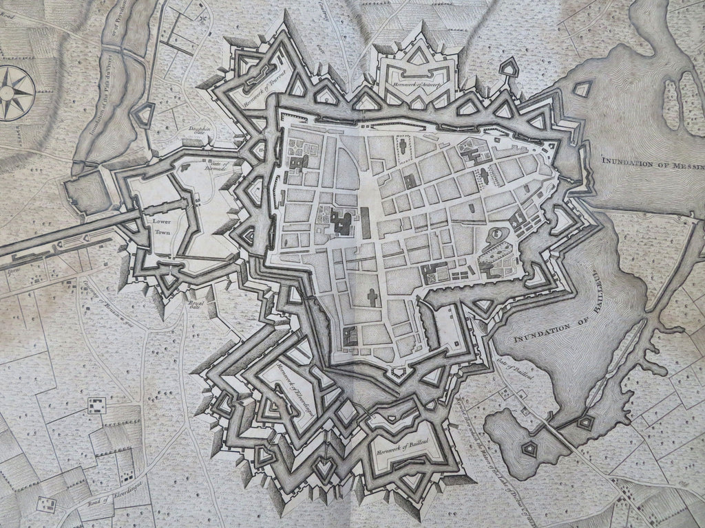
Ypres Flanders Belgium Treaty of Utrecht Fortifications c. 1740 Basire city map
Brian DiMambro


Ypres a strong City and Castle in Flanders restor'd to the Emperor by the Treaty of Utrecht.
(Old Maps, 18th Century Maps, Europe, Low Countries, Belgium, Ypres, City Plans, Fortifications).
Issued London, c.1740 by Tindal. Engraved by J. Basire.
Fascinating and remarkably detailed mid-18th century antique city plan map.
POOR condition - Map displays some considerable signs of age and wear: small edge splits (mostly to margins), moderate to sometimes heavy dampstaining at sides, etc. Still, overall the map remains visually appealing and historically interesting.
Original center fold as issued.
Sheet measures c. 18 1/2" x 15".
Printed area measures c. 18 1/2" x 14 1/4.
Tooley's Dictionary of Mapmakers , vol. 4, pg. 278.
[R35556].
