African-American Population Eastern United States 1874 Walker demographic map
Brian DiMambro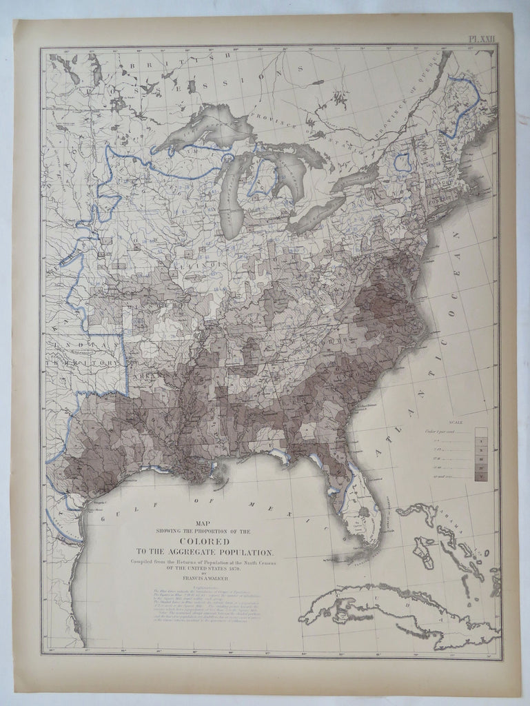
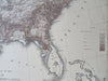
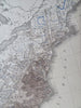
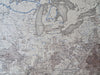
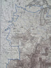
Map Showing the Proportion of the Colored Population to the Aggregate Population.
(Old Maps, 19th Century Maps, United States, Demographics, African-American Population).
Issued 1874, United States. Map by Walker.
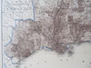
Late 19th century color lithographed folio sheet thematic demographic map.
Well preserved, clean, a nice looking example with pleasing age patina.
Sheet Measures c. 16" H x 21 3/4" W.
Printed Area Measures c. 13 3/4" H x 20" W.
Cartographic Reference(s):
Tooley's Dictionary of Mapmakers, vol. 2.
[R32642].