Antwerp Belgium Anvers citadel House of Reubens Exchange 1832 city plan SDUK map
AntiqueMapsPrints.com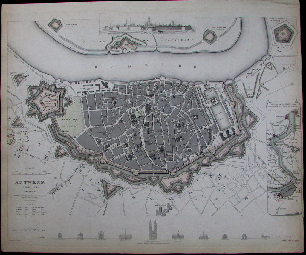
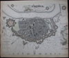
Antwerp.
(Belgium- Low Countries)
Issued London, 1832 by the Society for the Diffusion of Useful Knowledge (SDUK).
Engraved and printed by B.R. Davies.
Fine early-19th century urban plan, with original outline hand color.
Includes a comparison profile of some of the city's most iconic buildings along bottom (House of Reubens, Church of the Augustins, etc.). Birds-eye prospect view center top. Inset lower right of Schelct River from Antwerp to Lillo.
Map includes an impressive level of detail, with citadels, streets, squares, parks, etc. all mentioned.
Sheet displays some age-toning, margins toned, several short closed edge tears which are easy to overlook or miss, but is otherwise clean. Narrow side margins as issued. To our eyes and for most people, an entirely acceptable and nice looking example of this excellent precisely engraved antique urban plan.
Displays a pleasant age patina.
Sheet measures c. 16" x 13".
Printed area measures c. 15 1/2" x 12 1/2".
Tooley's Dictionary of Mapmakers , v. 1, p. 338.
[R13456]