Maine granite slates Silurian Montalban rocks geology railroads c.1890 color map
AntiqueMapsPrints.com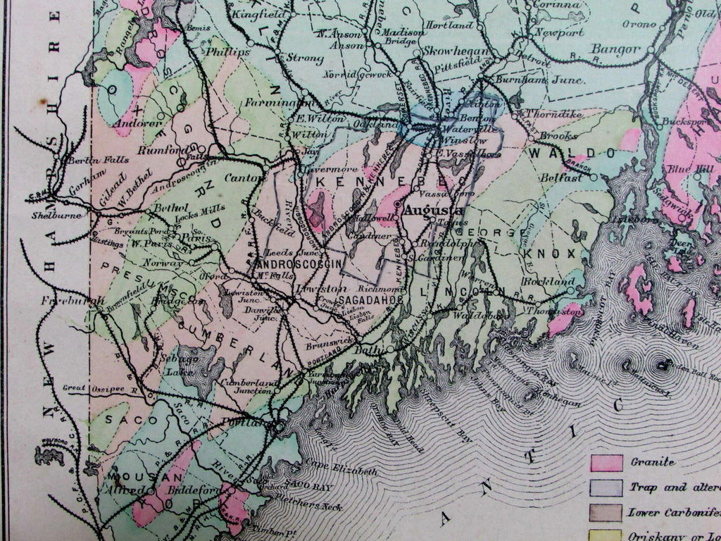
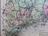
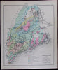
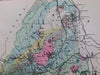
Geological Map of Maine
Colored to show the Geological Formations
By Prof. C.H. Hitchcork
(Maine- early Geology map)
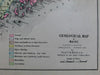
Issued c. 1890-1900 likely by Stuart & Colby.
Lovely late-19th century antique lithographed map with original hand color.
Color-coded key bottom center includes nine different geological designations, including granite, trap and altered slates, upper ilurian, etc.
Map further identifies numerous railroad routes, which weave through the colorful geological mosaic.
In near VG or better condition, minor light surface age wear and toning as typical, some faint minor foxing in the blank margins, overall the image is clean, well preserved and very attractive.
Sheet measures c. 17 1/2" x 15 1/2".
Engraved area measures c. 12 1/2" x 15".
Delaney, Landmark Thematic Maps, Geology, pp. 93-9.
Tooley's Dictionary of Mapmakers , vol. I, pg. 280.
[R12583]