New Hampshire 19th century state map 1877 O.W. Gray old hand color map scarce
AntiqueMapsPrints.com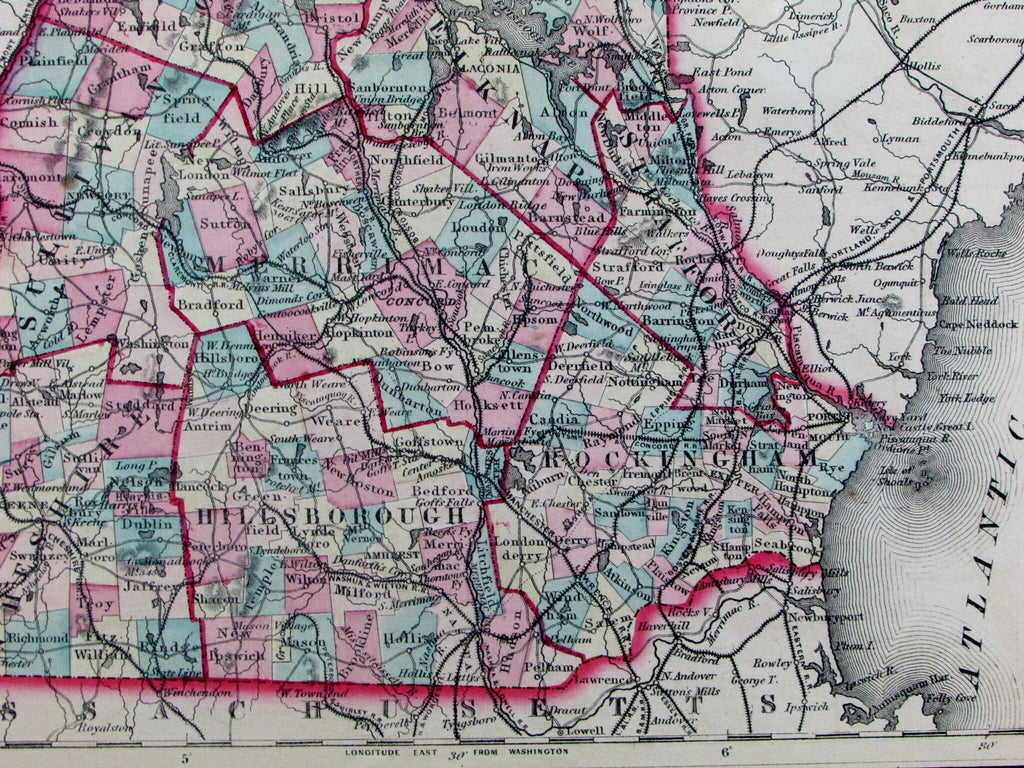

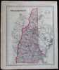
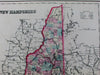
New Hampshire
Issued Philadelphia, 1876-7 by O.W. Gray & Son.
Lovely antique engraved and lithographed map, with original hand color. Key at top right includes railroads, canals, towns, townships, etc.
Cog railroad to Summit of Mt. Washington is shown as are various mountain heights.
Minor light toning and small scattered age spotting as typical for maps of this vintage, perhaps small minor paper flaws, but to our eyes and for most people, an entirely acceptable and nice looking example of this antique map.
Sheet measures c. 14 1/4" x 17"
Printed area measures c. 11 3/4" x 14 3/4".
Cobb, New Hampshire Maps to 1900 , not recorded, variant versions 309, et. al.
Tooley's Dictionary of Mapmakers, v. 2, p. 206.
[R12942]