U.S. United States Russian America Alaska Texas Indian Territory 1879 fine map
AntiqueMapsPrints.com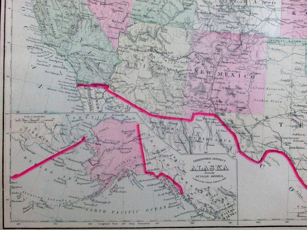
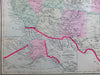
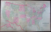
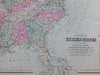
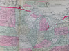
Gray's New Map of the United States.
Issued Philadelphia, 1879-85 by Frank & O.W. Gray.
Lovely oversized antique lithographed map, with original hand color. The ocean blue coloring lends the map a particular unique visual appeal.
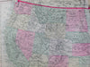
Includes insets of Territorial District of Alaska (bottom left), as well as a "Sketch Exhibiting the Westward Movement of the Centre of Population" at top-center. Map also identifies numerous railroads, as well as Indian Reservations, etc. Gulf Stream is outlined.
Minor light toning as typical for maps of this vintage, side margins trimmed narrow as isssued long ago, overall a nice looking, clean, fresh example of this large oblong format antique map. Pleasing age patina.
Original fold line as issued.
Sheet measures c. 27 1/4" x 16 3/4"
Printed area measures c. 26 1/2" x 15 1/2"
Tooley's Dictionary of Mapmakers , v. 2, p. 206.
[R13044]