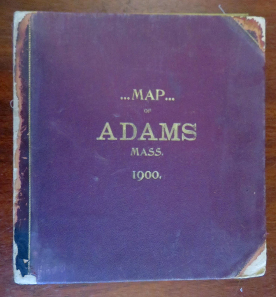
rare Adams Massachusetts 1900 huge City Plan linen backed folding wall map
Brian DiMambro- Antiquarian Books, Maps & Prints


(Old Books, 20th Century Books, Americana, United States, New England, Massachusetts, Adams, Folding Maps, City Plans).
Map of Adams, Mass. (Berkshire County).
Published 1900, Phila. by D.L. Miller.
Huge wall size folding linen backed map. Text in English.
Publisher's 1/2 leather binding, gilt title lettering, cloth covers. Map is in two parts, each large folding section attached to the board as issued by publisher (leather spine holding the boards together has perished)
Book is physically old and shows some signs of handling and time. Book is not new or in "new" condition.
Binding age worn, leather on covers is dreid and chipped, spine gone (so now two boards with maps still affixed) mostly light or inoffensive signs of handling and time but nothing severe or unsightly, book remains overall attractive as an object.
Paper is gently toned, various signs of handling, some splitting to linen, some surface wear in spots to maps, etc., still clean, tight, sound internally.
Still attractive on the shelf. The map displays a pleasing and unique age patina and is in overall nice antiquarian condition, any age flaws which may be present seem easy to overlook or forgive.
Please review photos for more detail showing how this rare wall map survives. The asking price reflects the condition based on our examination and 35+ years full time exposure to antiquarian books, maps and printed ephemera of all types and genres. Flaws seen and/ or described have been taken into account.
Book Measures c. 13 1/4" H x 12 1/2" W.
Unfolded, each section measures c. 35 1/2" W x 37 3/4" H., so if assembled the map would be 75 1/2" H (over 6 feet tall!)
Unfolded each section measures
[B7371-BR1224].
