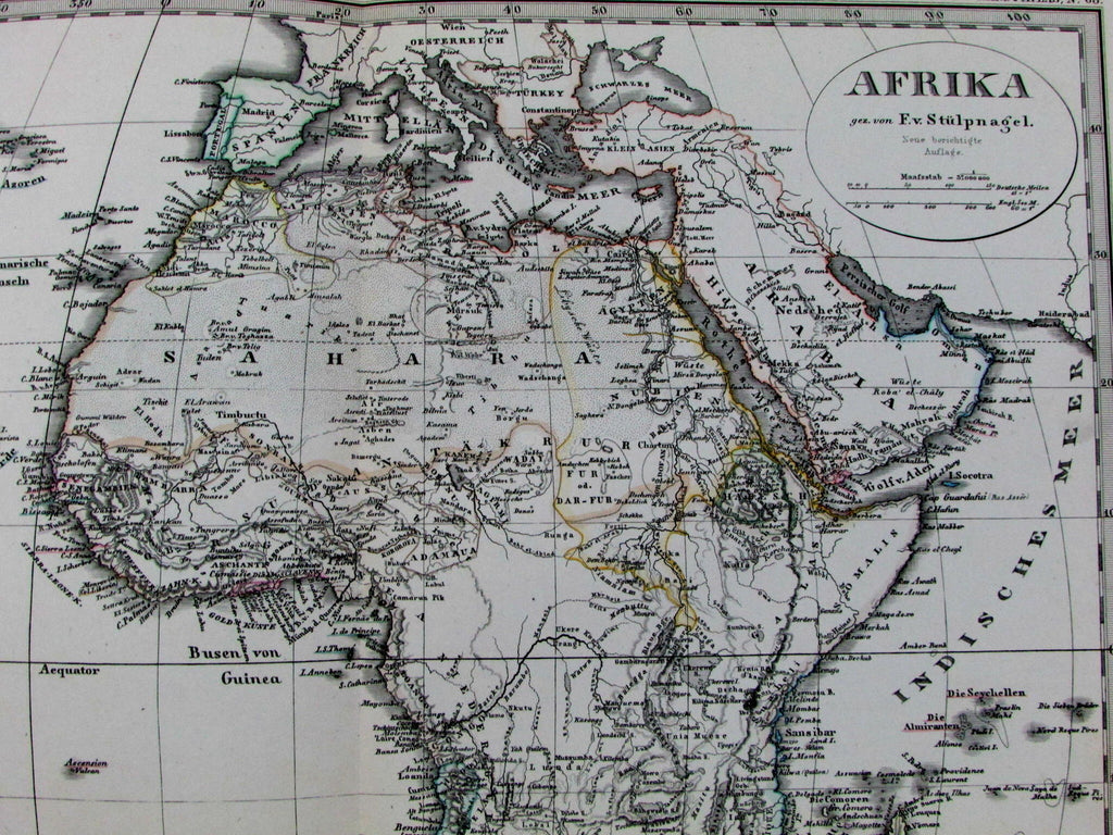
Afrika Africa European colonies Mt. Height comparison 1878 Stulpnagel map
AntiqueMapsPrints.com


Afrika von Stulpnagel- Neue berichtegte auflage.
Issued Gotha, Germany, 1878 by Justus Perthes (for Stieler).
Fine, remarkably detailed late-19th century antique engraved map with original hand color.
Numerous variants of this map exist, each displaying different interior boundaries and details. This example has a named separate Oranje Republic in south Africa. Liberia named a colony, Gold Coast of West Africa so named, etc. It also has "New Edition" engraved below the title above the distance scales.
With large inset map of Algeria at bottom left. Ket at bottom right denotes the various European colonial possessions (British, French, Spanish, Dutch, Portuguese, etc).
To the right of the color coded Colonial Powers possessions key is a tiny comparative profile of the continent's principal mountains, all named. Great transitional map of the era.
In VG, clean condition. Some minor, trivial toning, mostly along the margins.
Original fold line as issued.
Sheet measures c. 18 3/4" x 15"
Engraved area measures c. 15 1/2" x 11 3/4".
Espenhorst, Bibliographie der Handatlanten , p.78-9; 6- H 6.4. (noting the many variant editions which appeared).
Tooley's Dictionary of Mapmakers , vol. IV, pg. 216.
[R12845]
