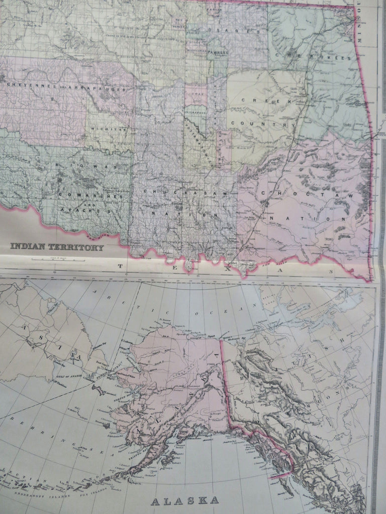
Alaska & Oklahoma Indian Territory Tulsa Oklahoma City 1889 Bradley large map
Brian DiMambro


Indian Territory. Alaska.
(Old Maps, 19th Century Maps, Americana, United States, Alaska, Oklahoma, Indian Territory, Oklahoma City, Tulsa).
Issued c. 1889, Philadelphia by Wm. Bradley.
Oversized late 19th century map with original hand color. Fine level of detail, decorative piano-key border surrounds the map.
Light uniform paper age toning and some insignificant damp staining along the bottom edge, otherwise a clean, nice looking example.
Original centerfold.
Sheet measures c. 19" x 26".
Printed area measures c. 17" x 24".
Ristow, American Maps and Mapmakers , p. 313.
Tooley's Dictionary of Mapmakers , vol. 1, p. 182.
Woodward, The All-American Map- Wax Engraving and it's Influence on Cartography . pp. 27-8.
[R35539].
