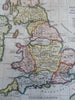
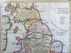
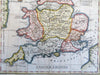
Ancient Britain Roman England Wales 1797 Neele engraved historical map
Brian DiMambro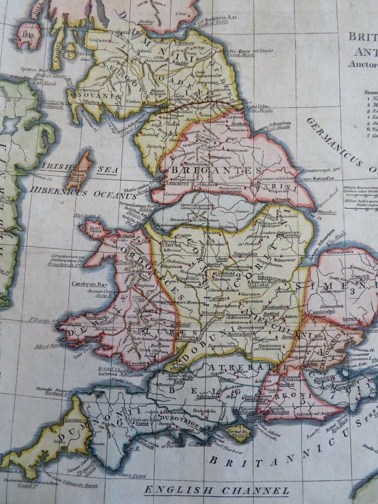
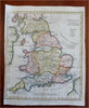
Britannia Antique Auctore Horsley.
(Old Maps, 18th Century Maps, Ancient World, Europe, British Isles, England, Roman Britain, Wales).
Issued 1797, London by Cadell & Davies. Engraved by Neele.
Late 18th century engraved historical map with attractive hand color.
Remains a nice looking example with a pleasing age patina. Any age flaws mostly minor and easy to overlook or forgive.
Original fold lines as issued.
Sheet Measures c. 10 1/2" H x 8 1/4" W.
Engraved Area Measures c. 9" H x 8" W.
Cartographic Reference(s):
Tooley's Dictionary of Mapmakers, vol. 1.
[R31041].