Ancient Egypt & Syria Red Sea Holy Land Palestine 1810 Lapie hand color map
Brian DiMambro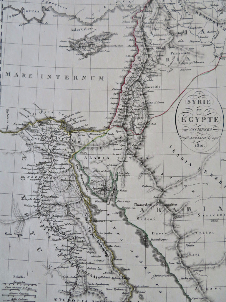

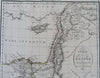
Syrie et Egypte Anciennes.
(Old Maps, 19th Century Maps, Africa, East Africa, Egypt, Red Sea, Sinai Peninsula, Asia, Middle East, Holy Land, Palestine, Israel, Syria).
Issued 1810, Paris by Lapie.
Uncommon early 19th century engraved map with original outline hand color.
Remains a nice looking example with a pleasing age patina. Any age flaws mostly minor and easy to overlook or forgive.
Sheet Measures c. 10 1/2" H x 14 1/4" W.
Engraved Area Measures c. 8 1/2" H x 11 1/2" W.
Cartographic Reference(s):
Tooley's Dictionary of Mapmakers, vol. 3..
[R32393].