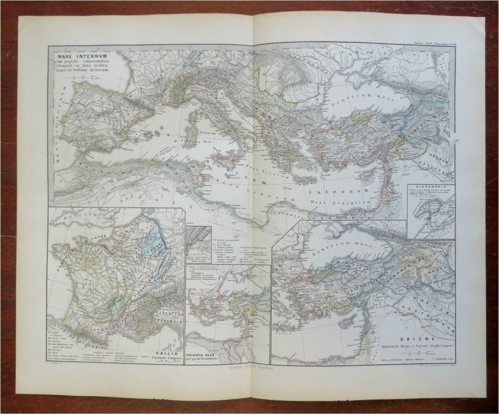
Ancient Mediterranean Roman Empire Gaul Anatolia North Africa 1865 map
Brian DiMambro- Antiquarian Books, Maps & Prints


Mare Interum.
(Ancient World, Europe, North Africa, Anatolia, Mediterranean Sea, Gaul, Italy, Cyprus, Alexandria).
Issued 1865, Gotha by Justus Perthes.
Mid 19th century antique engraved historical map with original hand color.
Well preserved, nice looking example with pleasing age patina.
Original center fold as issued.
Sheet Measures c. 15 1/4" H x 18 3/4" W.
Engraved Area Measures c. 12" H x 16" W.
Cartographic Reference(s):
Tooley's Dictionary of Mapmakers, vol. 3.
[R27644].
