Ancient World Mediterranean Sea Persia Holy Land Arabia India 1842 two sheet map
Brian DiMambro- Antiquarian Books, Maps & Prints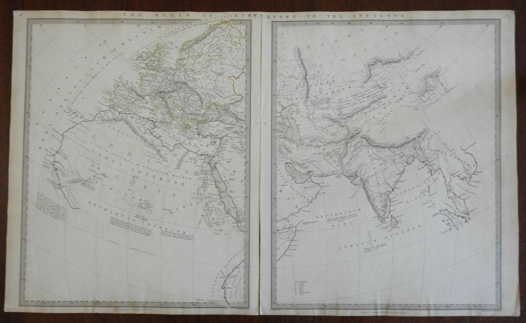

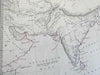

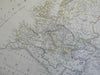
The World as Known to the Ancients.
(Ancient World, Europe, North Africa, Asia, Middle East, Arabian Peninsula, Iran, Persia, India, Scythia, Mediterranean Sea).
Issued 1842, London by Chapman & Hall.
The center of Africa includes the apocryphal Mts. of the Moon chain.
Mid 19th century engraved map with original outline hand color & piano key border. Map consists of two sheets, as issued. Please see photos.
Remains a nice looking example with a pleasing age patina. Any age flaws mostly minor and easy to overlook or forgive.
Sheets Measure c. 16 1/4" H x 13" W.
Engraved Area Measures c. 15 1/4" H x 12 1/4" W.
Cartographic Reference(s):
Tooley's Dictionary of Mapmakers, vol. 1.
[R26021].