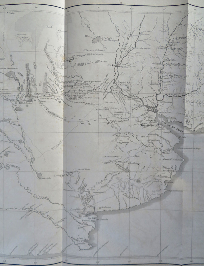
Argentine Republic Rio de la Plata Chile Andes Mountains 1855 Siebert map
Brian DiMambro


Map of the Argentine Republic Showing the Courses of the Rivers on the Road to Chile.
(Old Maps, 19th Century Maps, Argentina, Rio de la Plata, Chile, Andes Mountains, Buenos Aires).
Issued 1855, United States. Engraved by Siebert.
Mid 19th century lithographed map.
Original fold lines as issued.
Sheet Measures c. 11 1/4" H x 18" W.
Printed Area Measures c. 10" H x 16" W.
Cartographic Reference(s):
Tooley's Dictionary of Mapmakers, vol. 4.
[R32745].
