Australasia Australia New Zealand erroneous Lake Torrens hook 1853 Hughes map
Brian DiMambro- Antiquarian Books, Maps & Prints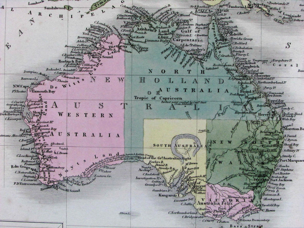
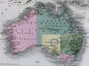
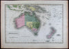
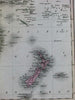
Australasia
(Australia / Van Diemen's Land / New Zealand)
Issued Edinburgh, 1853 by A. & C. Black.
Engraved in London by S. Hall.
Lovely mid-19th century antique map. Engraved with original hand color.
Note the prominent erroneously hook-shaped Lake Torrens in Southern Australia. One of numerous states of this fine early map, each showing variant features as partly described in detail by Tooley.
Paper gently and uniformly age-toned, but otherwise a clean and fine example. Map displays a pleasant, mellow age patina.
Sheet measures c. 12 1/4" x 17 1/4".
Printed area measures c. 10 1/4" x 14 1/2".
Tooley, Mapping of Australia , 180 (noting numerous revised states, this dated c. 1851-4, the hooked Torrens Lake disappearing by 1860).
Tooley's Dictionary of Mapmakers , vol. 2, p. 253.
[R13638]