Australia continent 1857 Weller Weekly Dispatch large map Tooley Mapping #1316
Brian DiMambro- Antiquarian Books, Maps & Prints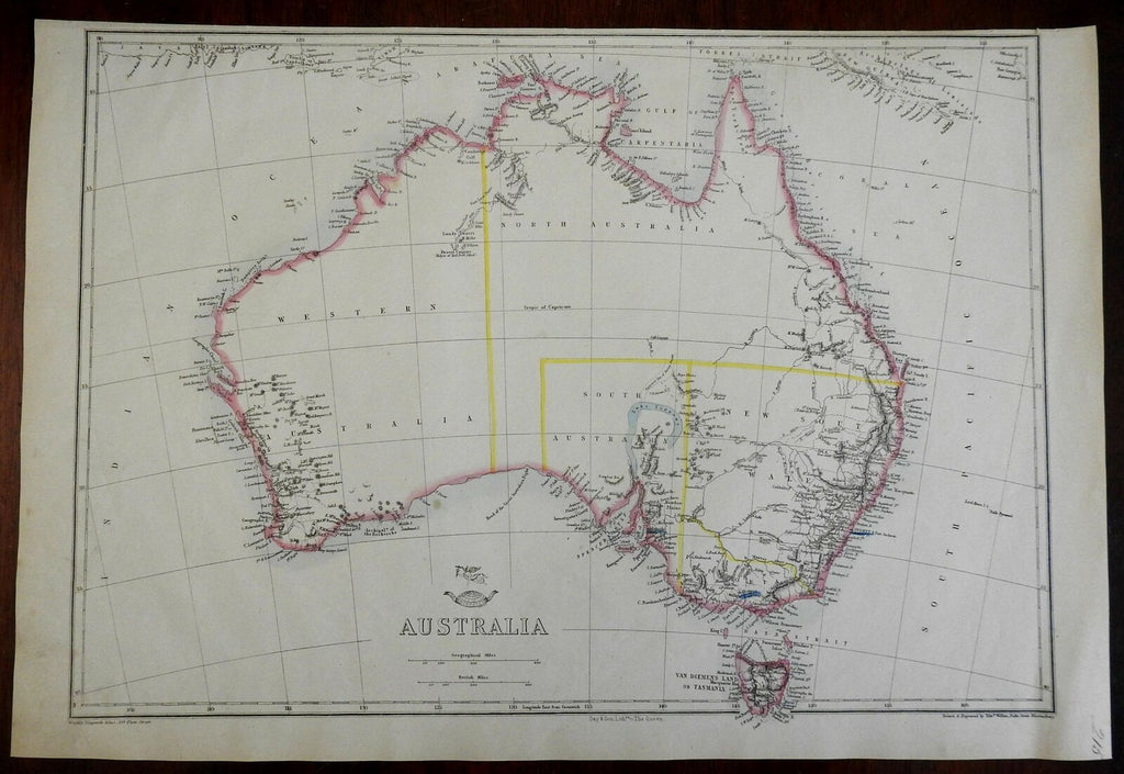
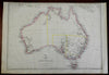
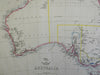
Australia.
(Oceania, Australia, New South Wales, Tasmania, Van Diemen's Land, South Wales, Western Australia)
Issued c. 1860, London by Day & Son. Map by E. Weller.
Fine large scale antique lithographed map with original outline color. Originally issued for a weekly London newspaper of the era, scarce thus. Three early important locations underlined in blue.
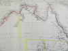
Early depiction with a largely blank unexplored interior.
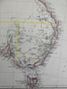
Tooley, Mapping of Australia, 1312 (noting the erroneous blue hook shaped Lake Torrens in South Australia).
Sheet Measures c. 19" H x 13" W.
Printed Area Measures c. 17" H x 12" W.
Cartographic Reference(s):
Tooley's Dictionary of Mapmakers, vol. 4.
[PL4 - R2911].