Australia Van Diemen Land coastline 1785 Capt. Cook Roberts & Benard early map
Brian DiMambro- Antiquarian Books, Maps & Prints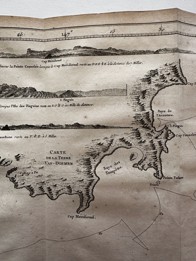
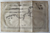
Carte de la Terre van- Diemen. (Australia).
Issued 1785, Paris by de Thou for Capt Cook’s 3rd voyage, first French edition.
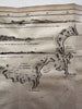
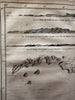
Shows the tracks of the ship in 1778-9. Interior terrain and topographical features of the islands, including villages and houses all along the coast in the inset. Nautical sounding depths given.
Copper engraved map on heavy paper, various fold lines, left blank margin trimmed narrow and uneven for insertion, all as issued.
Clean example, light age dustiness, edge toning, overall VG+ .
B15051