Austria Hapsburg Lands Holy Roman Empire 1767 Broigle decorative map
Brian DiMambro- Antiquarian Books, Maps & Prints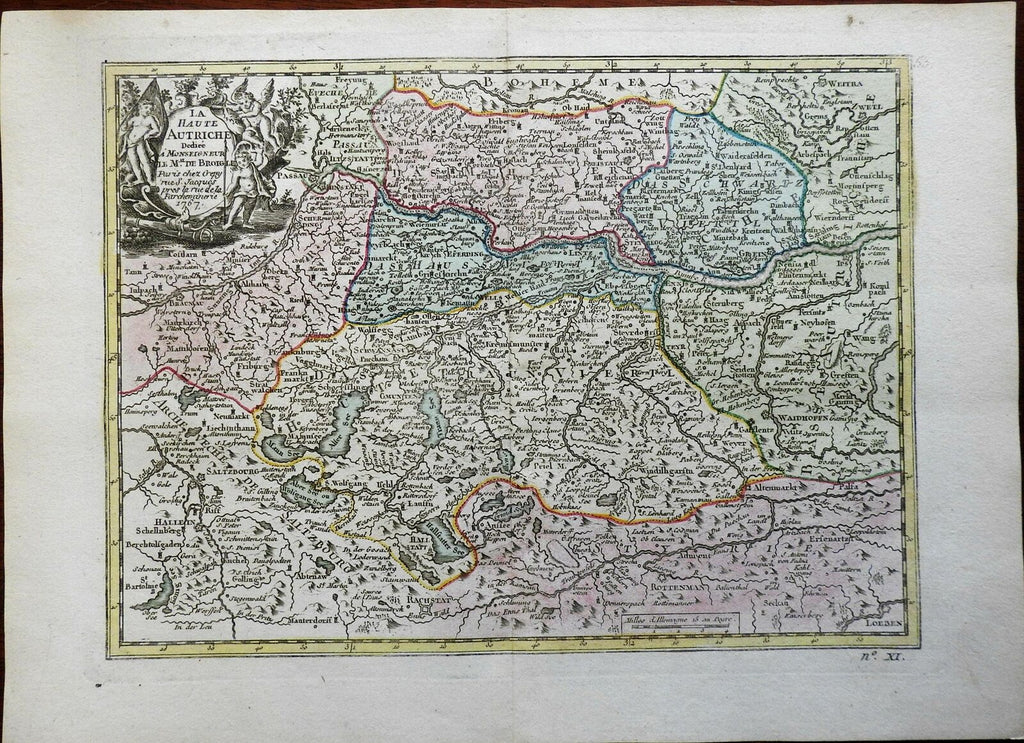
La Haute Autriche.
(Europe, Holy Roman Empire, Austria, Hapsburg Crown Lands).
Issued 1767, Paris by Broigle.
Mid 18th century engraved map with lovely hand color.
Pictorial cartouche top left corner includes cherubs.
Nice looking example, pleasing age patina, any minor age flaws easy to overlook or forgive.
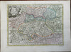
Original center fold as issued.
Sheet Measures c. 9 1/2" H x 13 1/4" W.
Engraved Area Measures c. 7 3/4" H x 10 1/2" W.
Cartographic Reference(s):
Tooley's Dictionary of Mapmakers, vol. 1.
[PL29].